
Caminho Sul - Leg 2
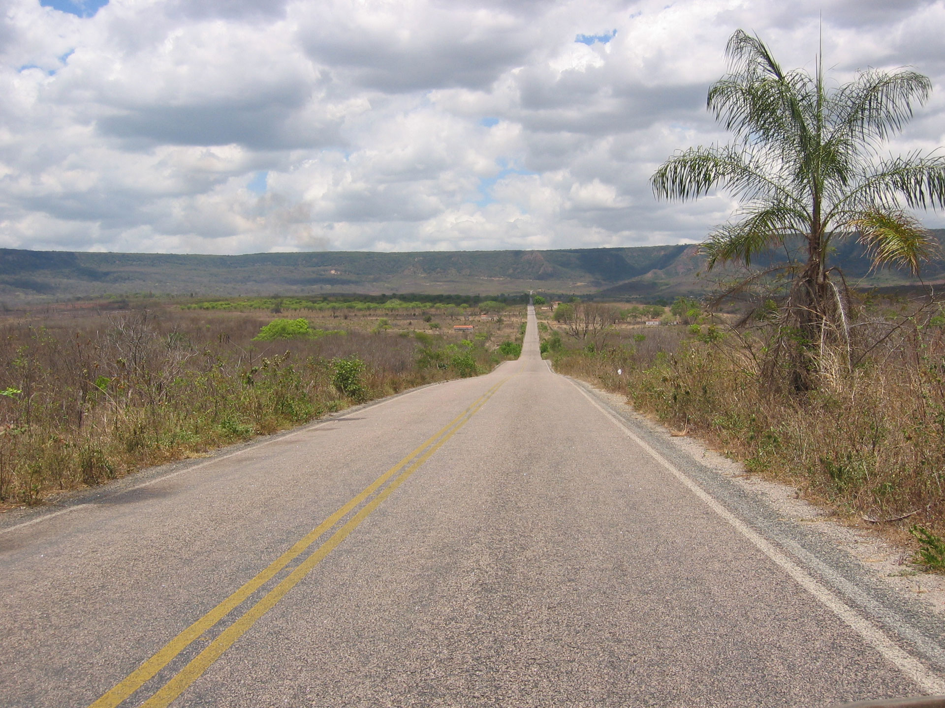
From Brasilia we continue our trip further south.
In Parana we are visiting the Parque Estadual de Vila Velha with interesting rock formations. Further south we are driving through the atlantic high plateau and are hiking through the canyons of the Parque Nacional de Aparados da Serra with spectacular water falls.
The end of this leg will be at the border town Chui at the most southern tip of Brazil. From there we will be crossing into Uruguay.
______________________________________
Caminho Sul - Etappe 2
Von Brasilia fahren wir weiter nach Süden.
In Parana besuchen wir den Nationalpark Vila Velha mit interessanten Gesteinsformationen. Weiter südlich fahren wir duch das atlantische Hochplateau und gehen im Parque Nacional de Aparados da Serra Canyon wandern.
Unsere Etappe endet in Chui, dem südlichsten Punkt Brasiliens und Grenzstadt mit Uruguay.
______________________________________
Caminho Sul - Etap 2
Z Brasilii będziemy kontynuować naszą podróż dalej na południe. W Parana zwiedzimy Park Estadual de Vila Velha, gdzie można zobaczyć ciekawe formacje sklane. Dalej na południe przejedziemy przez Płaskowyż Atlantycki i wyruszymy na pieszą wycieczkę przez Kanion Itaimbezinho w Parku Narodowym Aparados da Serra z imponującymi widokami na tamtejsze wodospady.
Koniec tego etapu przypadnie w mieście Chuí, które położone jest na najbardziej wysuniętym na południe koniuszku Brazylii. Tam też przekroczymy granicę i wjedziemy do Urugwaju.
______________________________________
Caminho Sul - Etapa 2
De Brasília a gente continua viajando direção sul.
No Paraná a gente visita o Parque Estadual de Vila Velha com formações interessantes de pedras. Seguindo direção sul a gente passa pelo planalto da Serra Geral e anda pelos cânions do Parque Nacional de Aparados da Serra com cachoeiras espectaculares.
O fim dessa etapa é em Chuí, a cidade mais pro sul do Brasil na fronteira com o Uruguai.
______________________________________